An app we recommend
You may have noticed a couple of “chart” images that I included in yesterday’s photo-intensive hiking post. Those two images were cropped screen captures from the iOS app Pocket Earth. This is an app that I now thoroughly endorse, but I give full credit to Gail from Two Fish for recommending that I purchase the app.
Although I don’t think that the free version offers these features, the paid versions allow you to download street data at a time when you have internet (it actually seems to do so automatically when you’re online and open the app) and then view that data, and track your movement along it, when you are offline. This is super valuable when exploring a new island!
In the first image below you’ll see how we used the app to find Le Petibonum restaurant, a spot that was highly recommended by our friend Steve at Uncommon Caribbean. We do not have any cellular data connectivity here in Martinique but as you can see, that didn’t prevent the app from getting us to our destination.
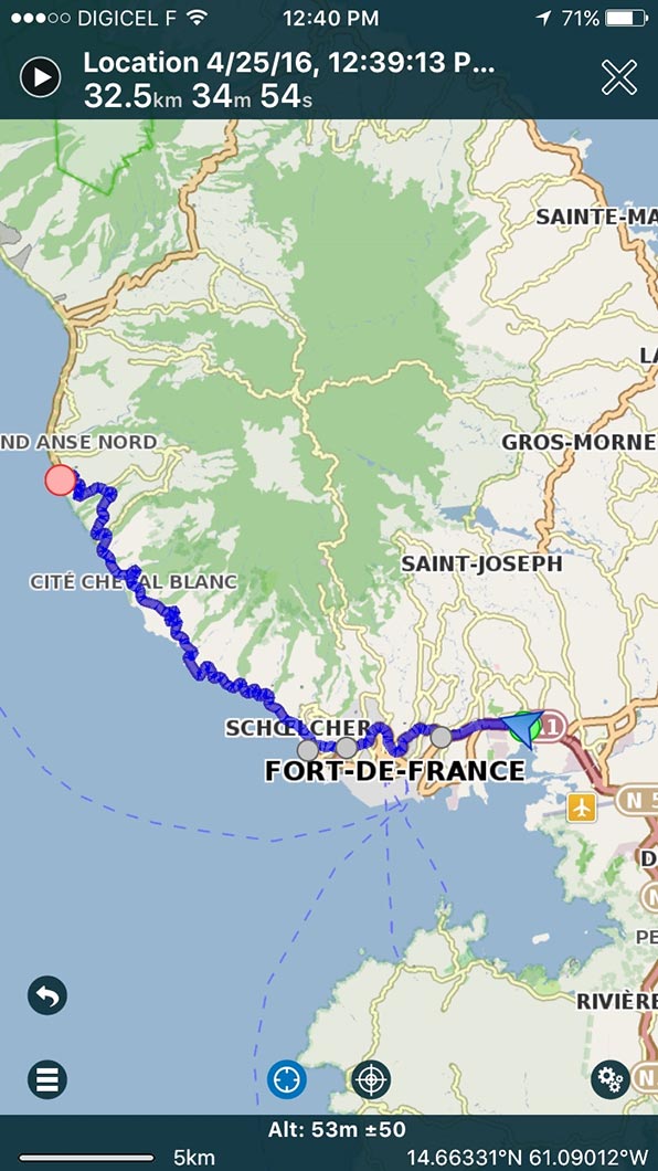
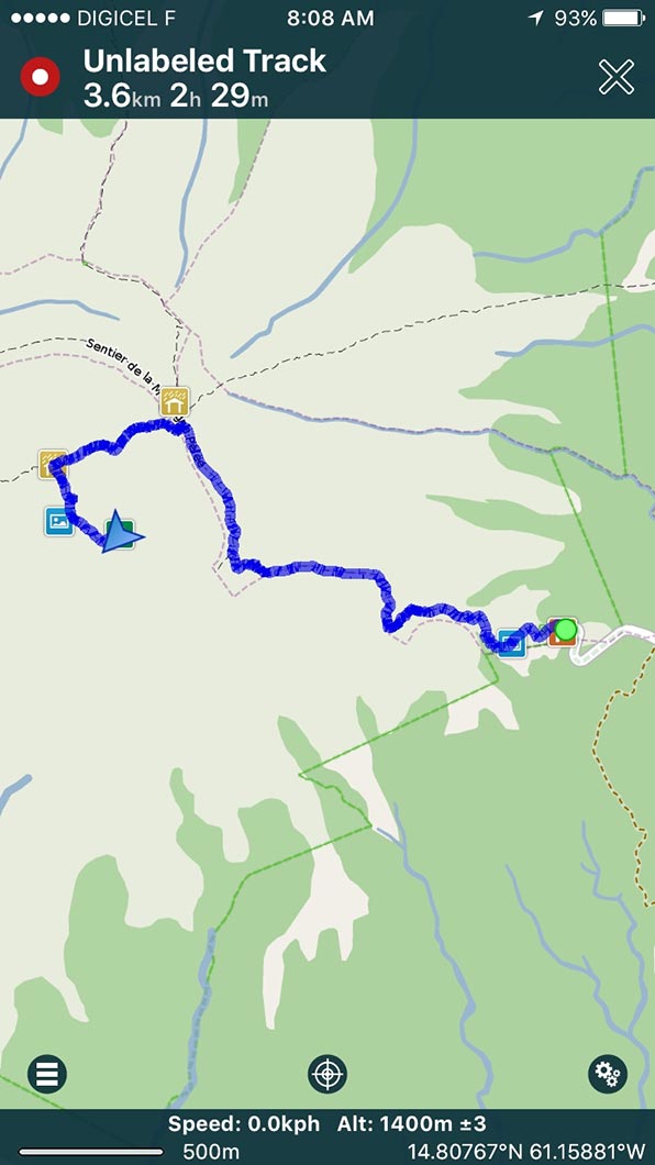
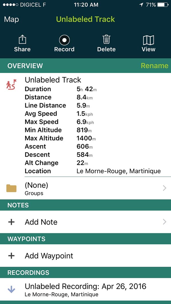
The following day I was surprised to find that in addition to the roads, the app actually had the trails to the peak of Mount Pelée in its databank. I also found out that the app can record our track, which you’ll see in images 2 and 3, with our times and distances listed at the top of those two images. The 4th screen capture shows the specs for the hike that we recorded. Cool, eh? As you can imagine, we’re now big fans. The app is, in our opinion, definitely worth the $8.49 we paid for it!

Note: This endorsement was unsolicited. We paid for the app, and have received no compensation for this post. We’re just happy customers. 🙂

Thanks. Up here in Southport, NC in the RV playing with it now. Wow! Lots of stuff packed in this app.
Btw, are boat water heaters anything like their rv cousins? Or do you bother at that latitude?
At this latitude, no. But in the higher latitudes, definitely! From what I have read, yes, some of the marine heaters are similar to the ones used in RVs. For example: http://www.webasto.com/us/markets-products/marine/heating-solutions/
Jealous that they don’t have an android version yet!
🙁