Mount Pelée
I suggested in our last post that there was a chance that Rebecca and I might end up on top of Mount Pelée. The truth is that there was more than a chance. That was, in fact, our real reason for renting a car and traveling up island.
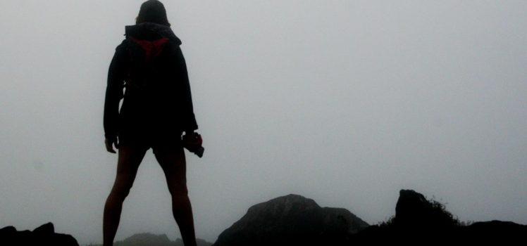
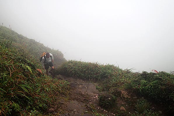
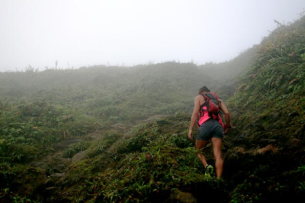
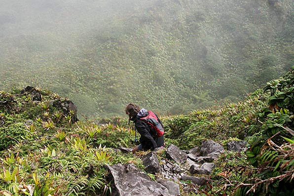
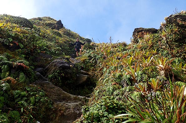
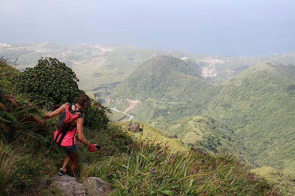
After doing some research, and determining that the most enjoyable route to the peak was via the Aileron trail, we spent the night at Auberge de la Montagne Pelée, a cool group of cabins located just down from the trailhead. The hiking instructions that we read suggested that to get the best views during the climb, it was best to start early, really early, in order to beat the clouds which typically roll in mid-afternoon. Being the troopers that we are, we started up the trail at 5:48 AM. As the photos below will show though, the vast majority of our hike was done in cloud cover. In fact, the clouds only just started to break after we had begun our descent from the top. So much for that intel!
Even though we may have enjoyed better views had we departed later in the day, and had been able to have breakfast (and coffee!) at the hotel, being first on the trail allowed us to hike at our own pace. On the way down we passed no less that 80 other hikers making their way up the trail! Yes, we counted. At one point, not far from the trailhead, we were passed by a family with a couple of small kids. After exchanging pleasantries, a woman in the group asked me if it was much farther. I wasn’t sure exactly how far she had planned to go but I replied honestly, “Uh, yeah, it is. A lot!” She was not happy to hear that. 🙂


EDIT: Looking for some more Mt. Pelée info? We climbed it two more times since this post was published. You can see pics and info on those adventures here and here.

Wow, that looks like one demanding hike . Thanks for bringing us along. How long did it take going up?
Looks like good training for Patagonia.
Beautiful views
Fred
The two “chart” images show distance and time at the top. The first one is the time from the trailhead, down into the crater and then up to the highest peak. The last image shows the total elapsed time and distance to return to our starting point. We took a longer route back though.
Just gorgeous!
It was definitely worth getting up early for.
There’s one pic of Rebecca looking up at you for the shot. You can see that the stairs and the terrain are very steep. I’m sure it’s very challenging but I’d love to tackle some day. I haven’t done much hiking in Cuba yet, only up the stairs to our local watering hole 🙂 but I am planning to do some next year. I do however keep a decent hybrid bike there and ride on a daily basis. I think the furthest is about 50 km. In the future I’d like to do some longer tours. Maybe you guys can join me some day! Great pics.
That section was very steep. We were walking down the stairs sideways! It led down into the crater.
Nice pictures! What did you use for your charting?
Funny you should ask that. See tomorrow’s post. It’s already written and scheduled to publish at 6:00 AM. 🙂
http://www.zerotocruising.com/an-app-we-recommend/
Thank you.
You’re welcome!
Very cool! Sorry you missed breakfast. Hope you stopped at Depaz for a “snort” on the way down
Um, no, we did not. The truth is we are not at all fans of French rum.
You guys rock!!! Love it!
Merci! 🙂