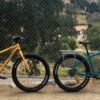
Boat plus bikes equals adventure!
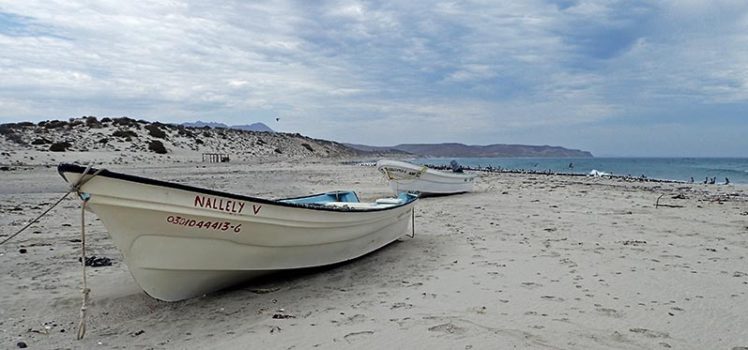
Early this morning, quite likely before the sun has broken the horizon, Rebecca and I will be making our way to the local fishermen’s beach to try to rustle up a ride in a panga, a small local boat. Our objective will be to try to convince one of the fishermen to take us and our bikes across the Bay of Conception to Los Hornitos, a beach about 8 miles away. It is there that we’ll hopefully locate an indistinct sandy track, the continuation of the Baja Divide route.

The beach where we hope to score a ride tomorrow.
Yes, there are easier ways to head south but the Baja Divide route was never plotted to take the easy way. Instead, it is all about finding the most out-of-the way tracks, and this one is sure to meet that criteria. Once we make it to shore, should we be successful in our initial find-a-boat quest, we’ll have just over 40 miles (64 km) to cover before the first resupply point. Although it’s possible that we could cover that distance in one day, we’ll likely camp on the peninsula somewhere before we reach that point.

An 8 mile boat trip, and then a long ride down the peninsula.
When we reached Mulegé, we calculated that we had completed 60% of the Baja Divide route. If we don’t include the end of Baja loop that occurs after reaching La Paz the first time, then we have completed 72%. Either way you look at it, we still have quite a few miles left to cover before we’ll be heading to mainland Mexico!
While we’re on the move, you can check on our progress by viewing the track from our inReach device. I’ve made it easy by creating a new “Where we are” page.

Thanks again Ryan Scott for your donation!


Boats are still calling you!
Ya think?
Bon voyage!
Gracias.