A deserted island?
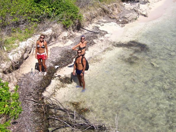
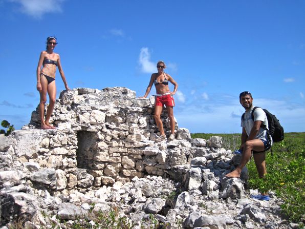
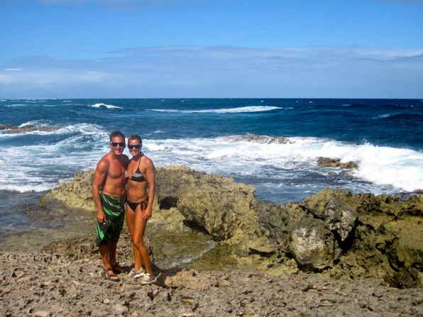
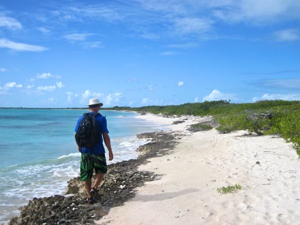
Imagine walking for miles along a low-lying tropical island without coming across a single person. That is exactly how we spent our afternoon yesterday. After beaching our dinghies on the coast just off from where our boats are anchored, Rebecca and I, along with our friends George and Kelly, set off exploring.
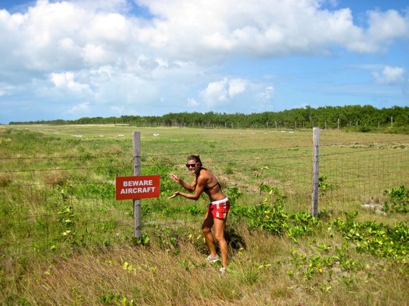
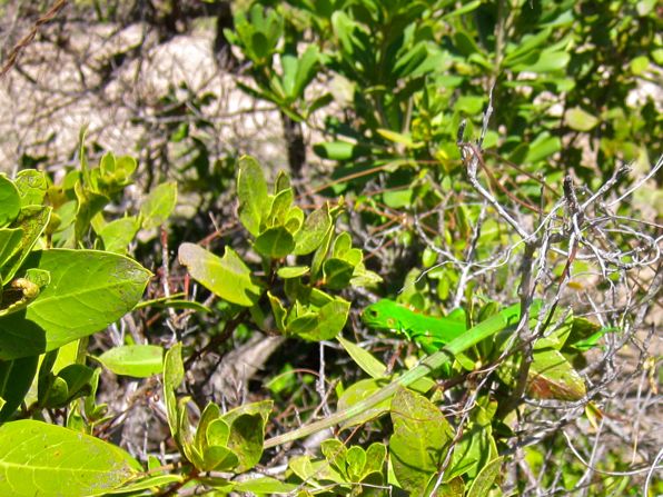
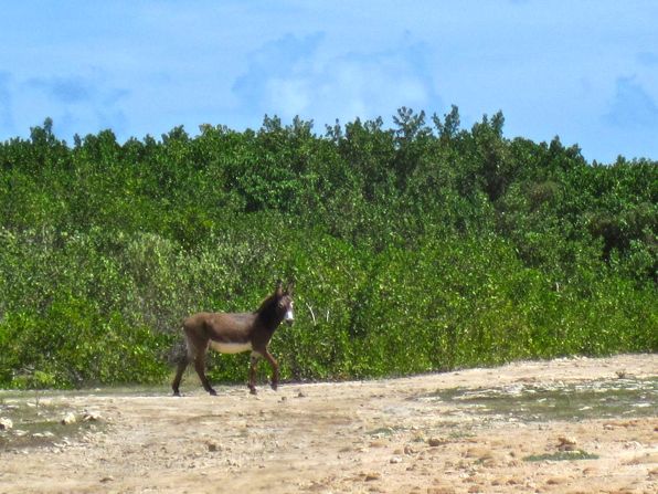
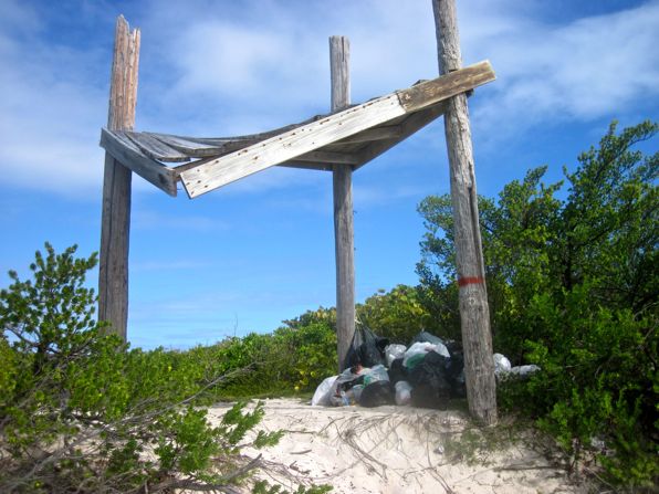
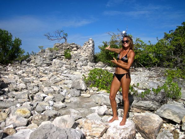
Unlike the volcanic mountains commonplace on many of the other Caribbean islands, Barbuda is extremely flat, the highest point less than 40m. We headed east along the shore, passing a small airstrip, until we picked up a trail taking us to what the chart calls a “Road of Sorts.” In our opinion, that’s a pretty accurate description. As we walked on the road, we passed by large (and smelly) salt ponds and several at-the-time-unoccupied shacks on the coast which we assume are used by fishermen. As for wildlife, we had read that we might see horses walking free on the island along with wild deer and donkeys. We came across no horses but did see many deer tracks, and passed by one nice-looking donkey who preferred to remain aloof.
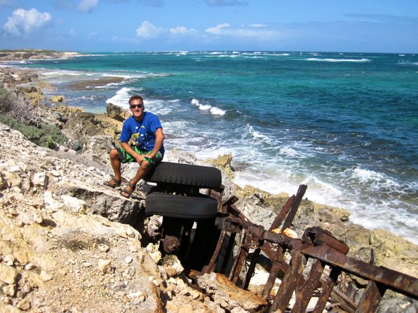
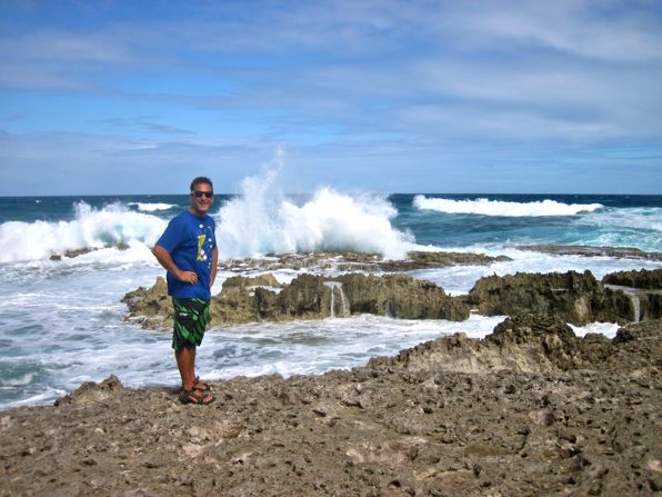
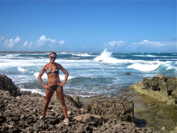
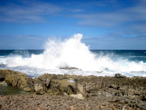
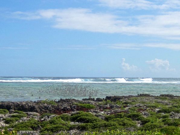
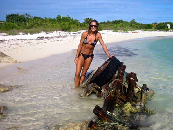
As we reached the far south-eastern tip of the island called Spanish Point, we were treated to a fantastic demonstration of the sea’s power as the waves crashed endlessly over the shallow reefs. I look at sights like this two ways. From a spectator’s point of view, it is one of the most beautiful displays of nature that I can imagine but from a boater’s point of view, it is frightening. A vessel which had the enormous bad fortune of ending up on these reefs would not be long for the world. Fortunately, we were in the former category, our boats safely tucked away far from this danger, so we happily took full advantage of the amazing scenery, snapping numerous photographs in the bright sunshine.
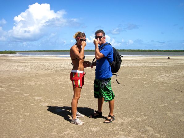
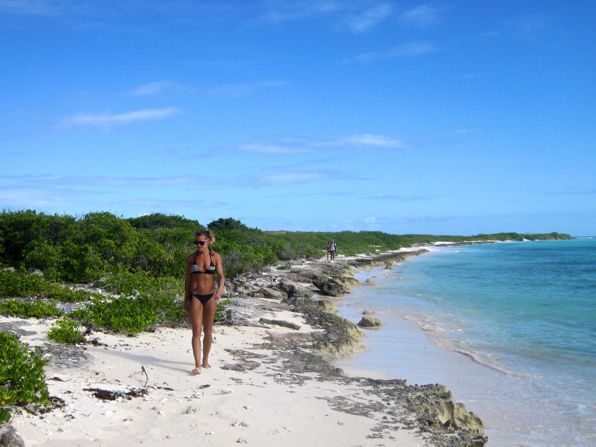
As we waded along the beach, heading back towards our boats, it seemed, to me at least, to take significantly longer than the trip to the point. We enjoyed ourselves though, taking in the scenery around us while keeping our eyes open for any treasure that we might happen upon. Fortunately we were able to escape the hot afternoon sun by taking occasional dips in the clear water. Although we came across no locals on either leg of our walk, we did see a few cruisers on boats anchored in the bay, and even spoke briefly with a couple who we had met during our stay in Grenada after they came ashore.
By the way, I mentioned yesterday that we anchored where we did to avoid the northerly swell that was forecast to arrive. According to what we heard from that couple, and also from radio traffic that we listened in on, we made the right choice. Apparently the swell was so bad on the other side of the point that people were unable to land dinghies on the shoreline. Good call by our friend George!


Am I the only geek that peridically references google earth when they talk about their adventures? I am trying desperately to change my view from jealousy to inspiration…. soooo difficult….
Nope, I have every place mentioned in the blog since 2009 (Canada), marked on my google maps. I’m planning on being there soon (3-5 years)
No, Cameron, you’re not the only one who does that….
We had the sun, the surf and the huge expanses of blue water here in Kingston today. Actually, we had everything but the heat. That helps with the jealousy-to-inspiration transition quite a bit.
No, you’re not. 🙂
Inspiration is what we’re going for!
Ass kicked by a monohull ?
I guess that makes it two times now.
Hey now! Do you have proof?
That was a really cute ass! Well, if you don’t get your ass up to Georgetown we will see you in Domincan or Granada in 4 months. Check our blog and drop us a line! Wade and Maureen
Hey guys! Can’t wait to see you two down here. Come find us. Please. 🙂
And yes, it is a cute ass!
Oh I CAN imagine walking for miles and not coming across a single person. That happened to me on Anegada one day when I set off west from Neptune’s Treasure and walked to Cow Wreck beach – about 5 miles. Took me 3 hours because I dawdled – swimming and taking pictures – and never met a single soul on beaches that were right off of a calendar.
HEAVEN!!!!!
It’s great, isn’t it?
Who let the donkey out? Or is that a burro in that neck of the woods? In any case, great pictures!
They just run free, and I don’t know if it was a donkey, burro or mule. I didn’t get the chance to ask him.
@ Cameron: def not, in fact it sets me off all over the place looking for exactly this. Somewhere where nobody goes… Good pics guys! Made my day.
🙂